COUNCIL DRONE SERVICES
County & Local Council Drone Services
CloudVisual provides advanced drone solutions for County Councils and District, Borough, and City Councils across the UK. Our cutting-edge aerial services offer a faster, safer, and more cost-effective way to inspect infrastructure, survey assets, and support public engagement.
From highway inspections and traffic surveys to road markings and maintenance assessments, our drones streamline data collection while reducing costs. By eliminating the need for manual inspections at height, councils can minimise risk and improve efficiency. We provide rapid, high-resolution asset surveys that help ensure public infrastructure remains compliant and well-maintained.
Beyond technical inspections, CloudVisual’s drone imagery and video footage support media, marketing, and public relations. Whether promoting environmental initiatives, showcasing new developments, or preparing public announcements, our aerial content enhances communication and engagement with local communities.
We are proud to be trusted by leading councils, including Birmingham City Council, Hertfordshire County Council, Three Rivers District Council, and Slough Borough Council. With years of experience and state-of-the-art drone technology, CloudVisual delivers precise, efficient, and innovative solutions that help councils operate more effectively and sustainably.
Delivered by Aerometrics
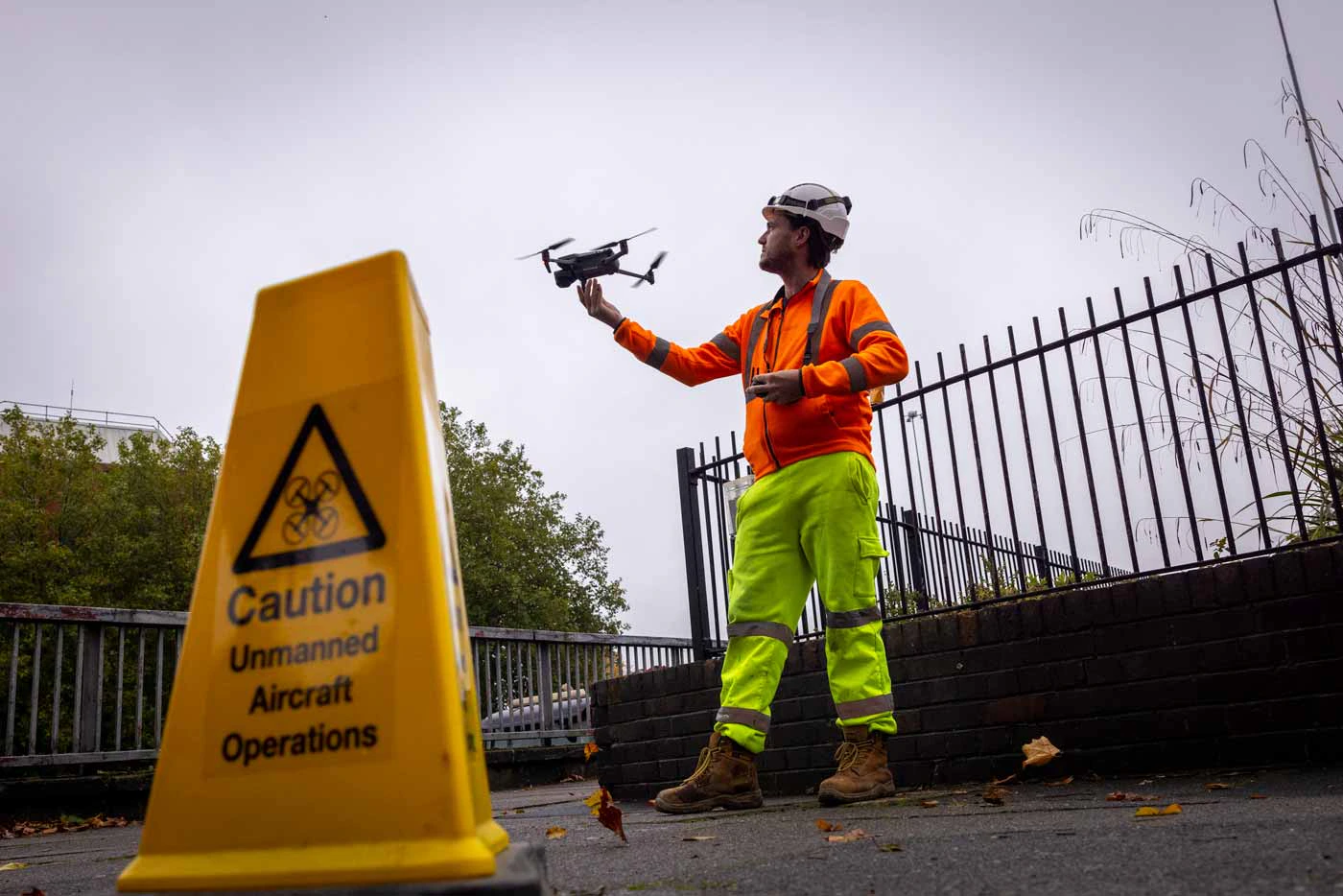
Technical surveying, mapping and inspection work is carried out through Aerometrics - CloudVisual’s dedicated survey division, with specialist pilots, survey-grade sensors and in-house data processing.
Highways & Traffic Surveys
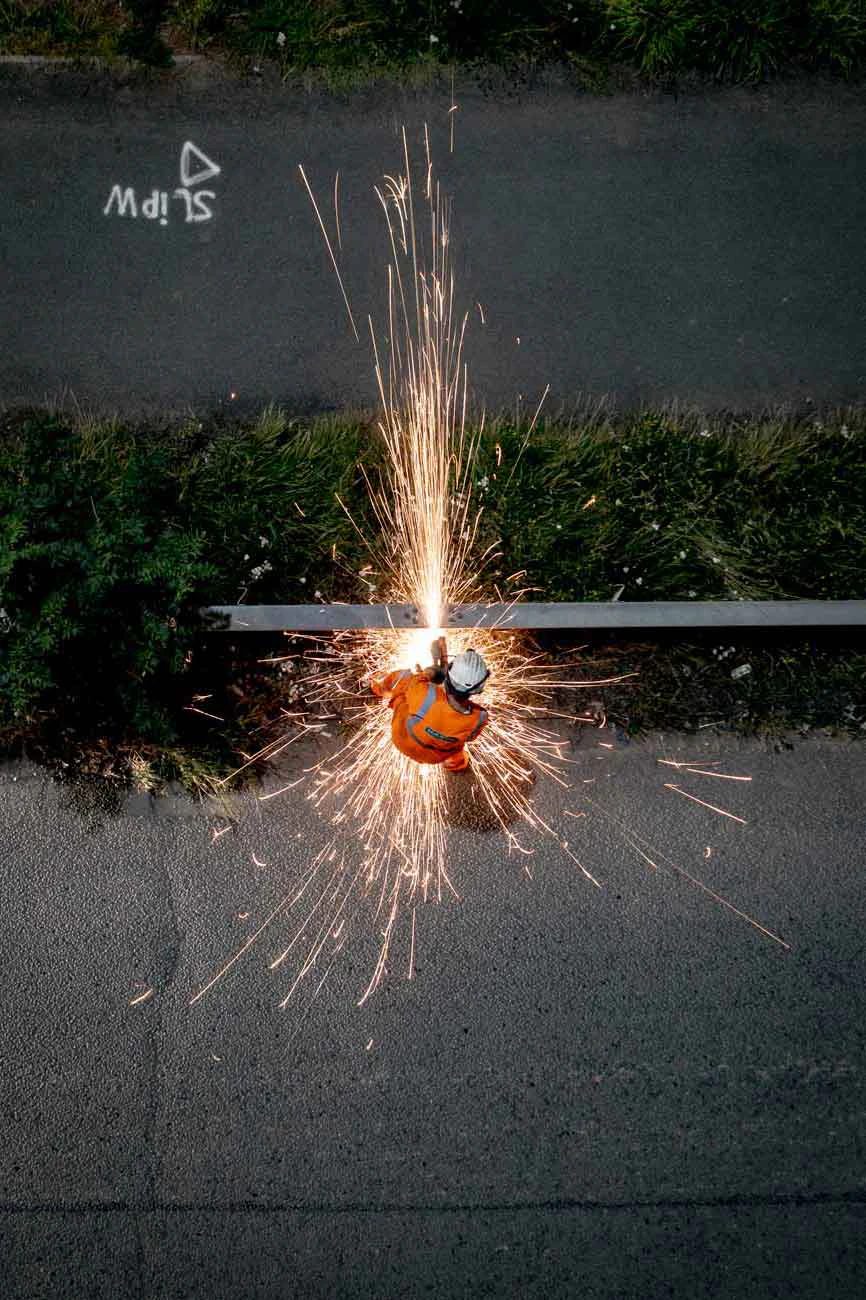
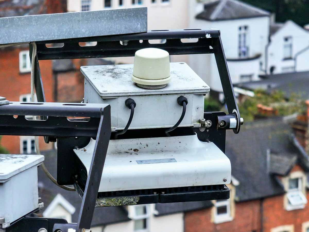
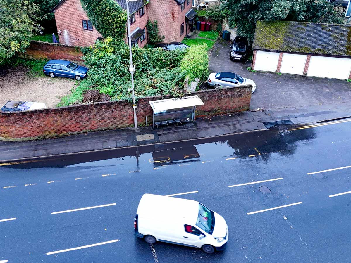
CloudVisual supports councils with precise highway surveys, using drones to inspect road markings, lighting systems, and traffic flow patterns. Our aerial imagery provides highly accurate data, helping councils make informed decisions about road maintenance and infrastructure improvements.
Traditional inspections can be disruptive and costly. Drones eliminate the need for road closures, scaffolding, or cherry pickers, enabling safer and more efficient inspections while reducing traffic disruptions.
Drone Services for Every Tier of Local Government
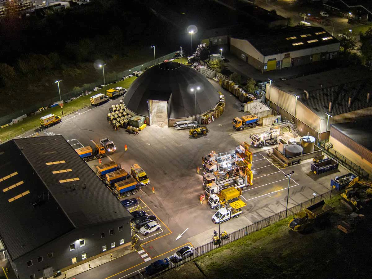
Infrastructure Surveys & Inspections
From bridges and public buildings to drainage systems and urban infrastructure, CloudVisual’s drones provide a non-invasive way to inspect assets. Using high-resolution imaging and thermal cameras, our inspections detect issues like structural damage, corrosion, and heat loss with precision.
Traditional inspection methods often require scaffolding, road closures, or large crews. Our drone surveys eliminate these disruptions, making inspections safer, faster, and more cost-effective while ensuring local authorities maintain compliance and safety standards.
Efficient Asset Management
Asset Management & Maintenance
Councils are responsible for a vast number of assets, from street furniture and lighting to public spaces and signage. Our drones provide high-resolution data to help councils monitor, maintain, and manage these assets more effectively.
Regular drone inspections allow councils to detect wear and tear early, reducing long-term maintenance costs. By keeping detailed, up-to-date records of council assets, CloudVisual enables data-driven decision-making for budget planning and infrastructure improvements.
Our Council Drone Services
Providing cost-effective, safe, and innovative solutions for local government.
Asset Inspections
Highways & Traffic
Public Awareness & Promotion
Surveying & Planning