CONSTRUCTION INDUSTRY DRONES
Transforming the Construction Industry with Drone Technology
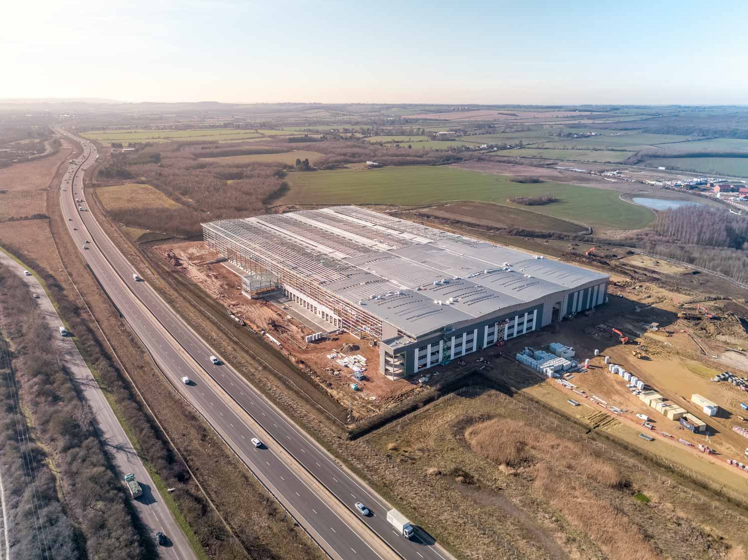
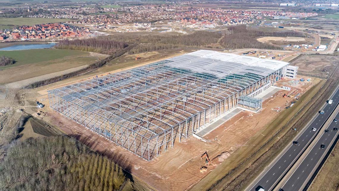
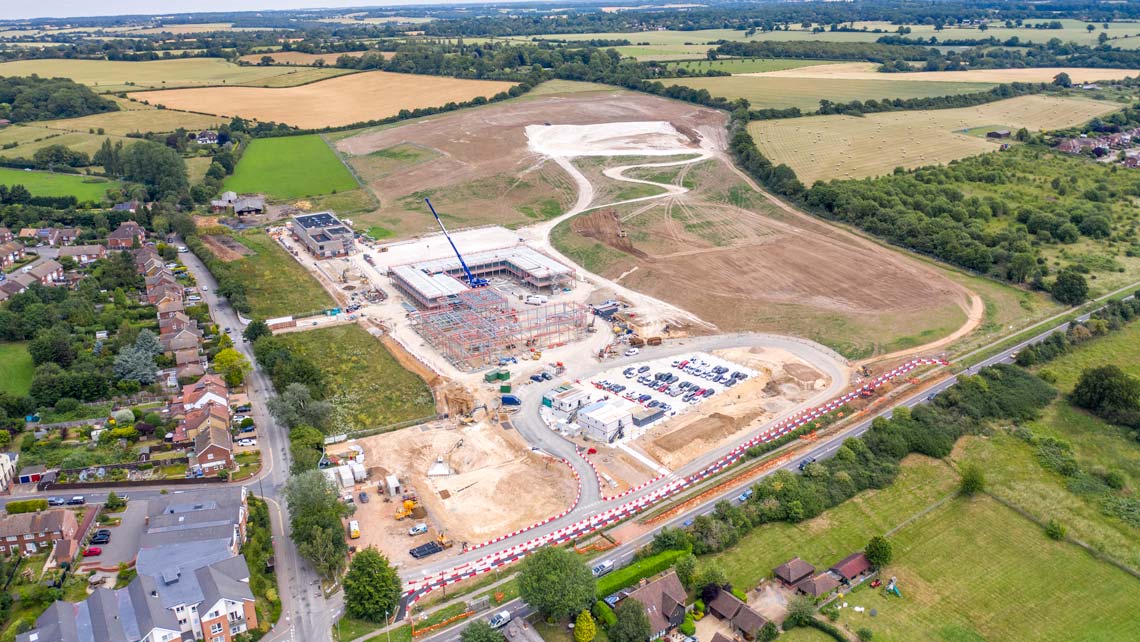
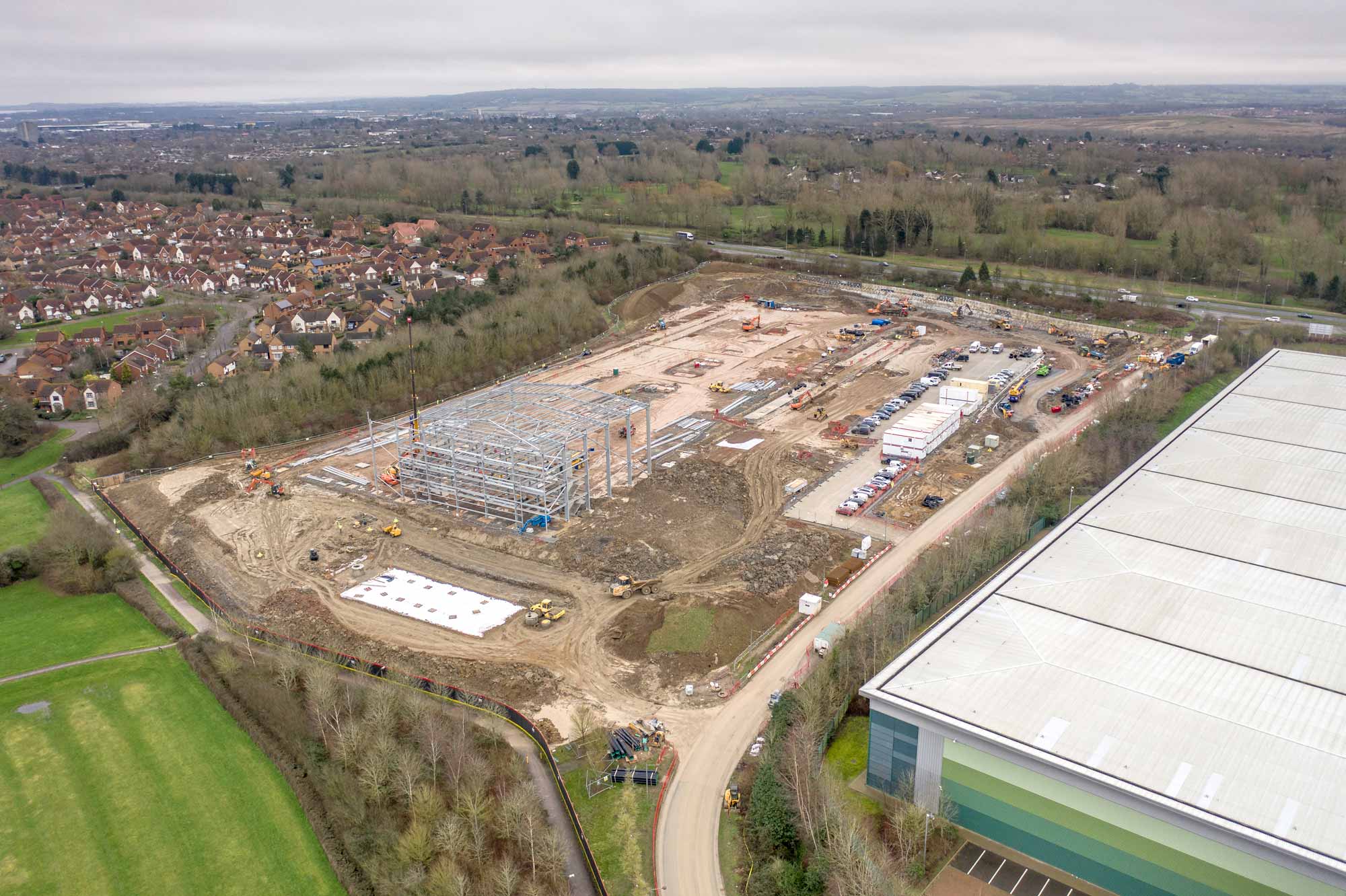
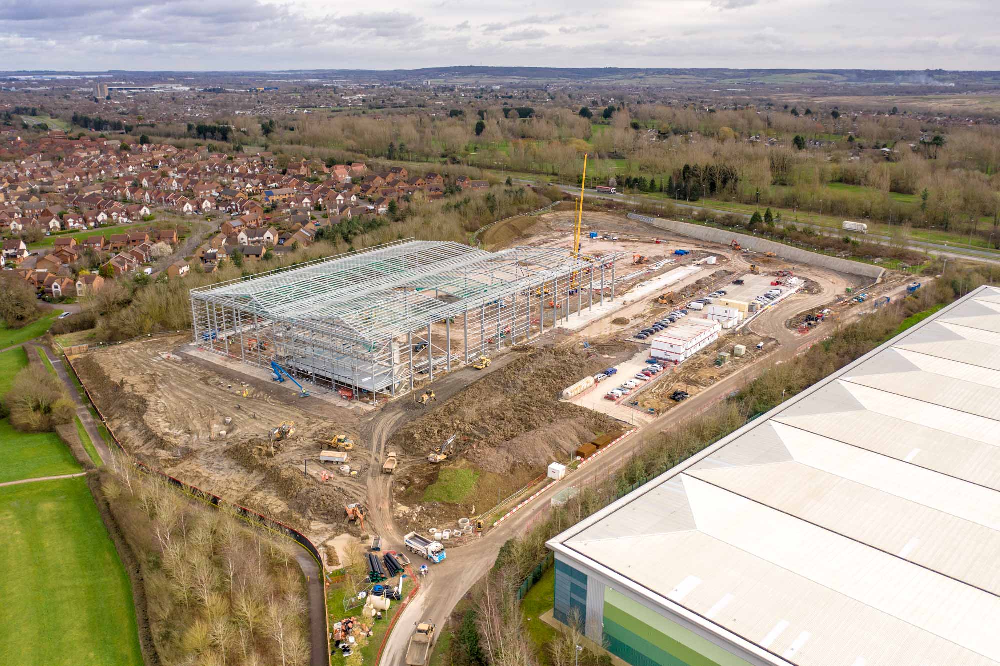
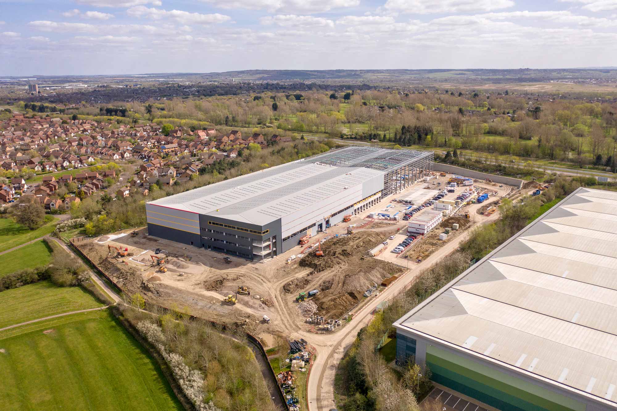
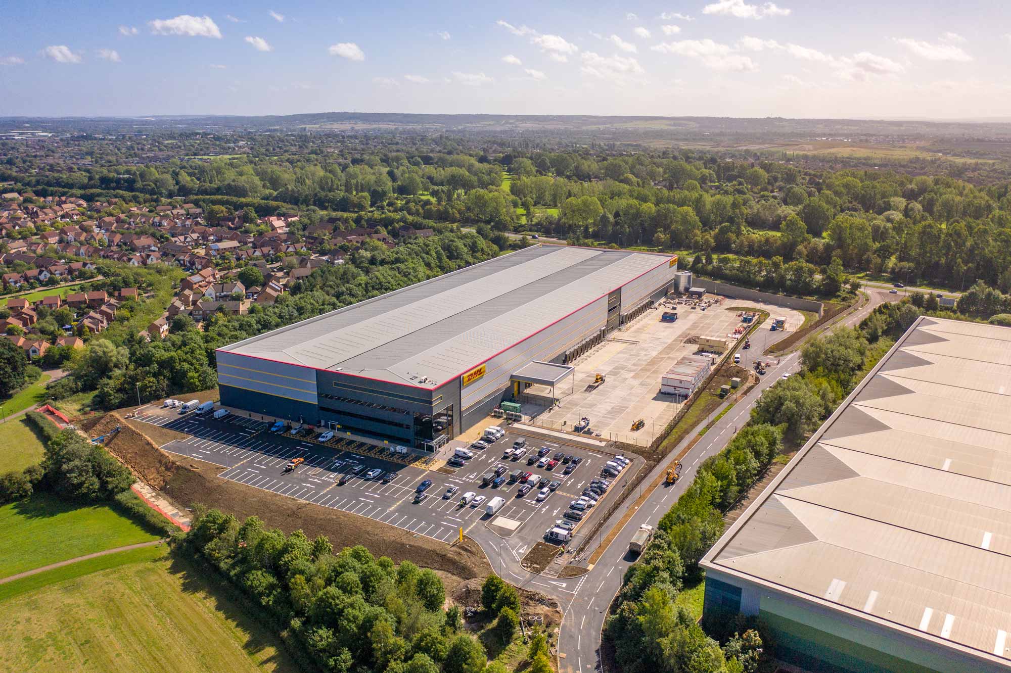
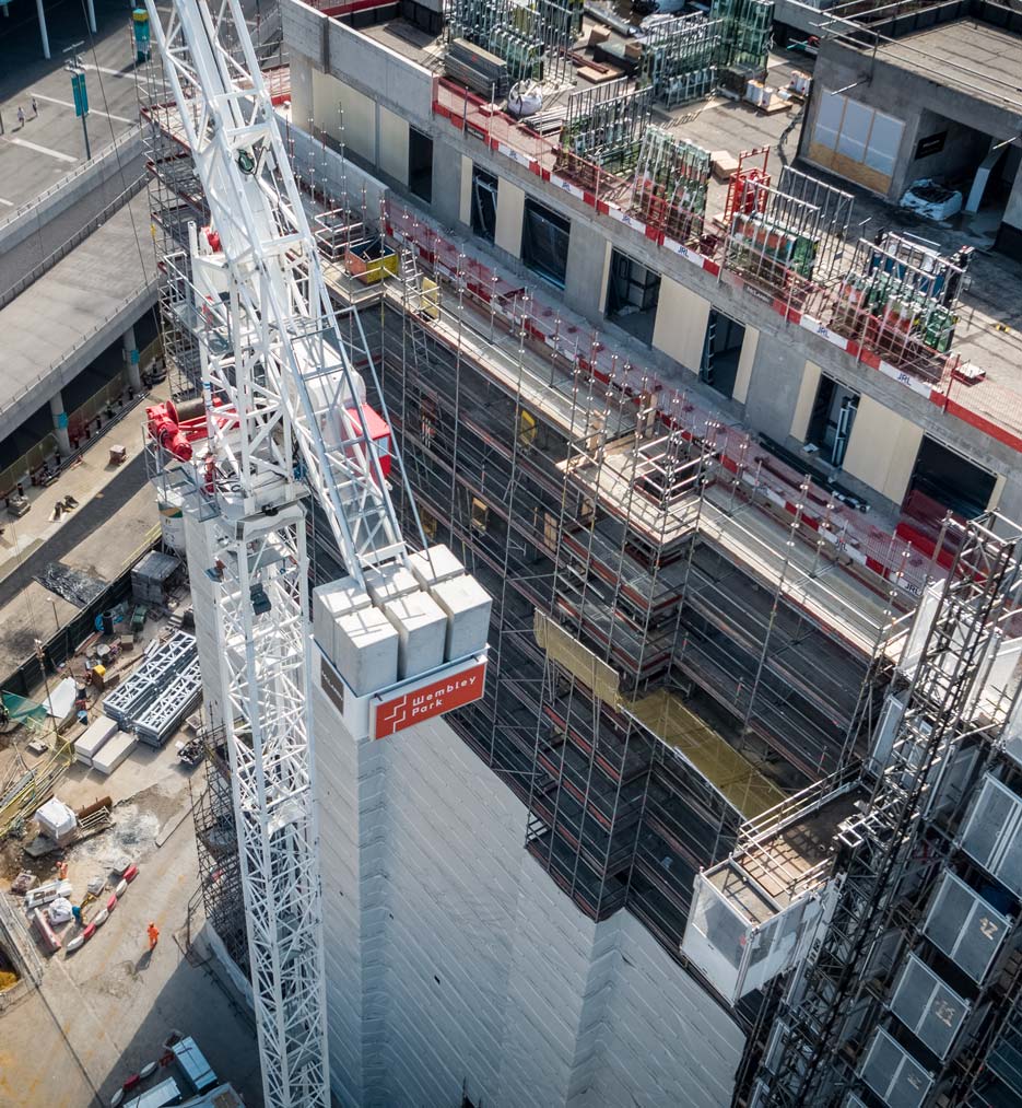
CloudVisual is at the forefront of innovation in the construction sector, supporting projects ranging from large-scale warehouse developments for Amazon, Costco, and DHL to new-build housing estates, schools, infrastructure projects, and commercial developments.
Our services include mapping, surveying, volumetric analysis, and 3D modelling, providing accurate and frequent updates to keep project managers informed at every stage. Using cutting-edge drone technology, we capture high-resolution video and imagery, ensuring seamless communication, improved efficiency, and better decision-making throughout your project.
21st Century Construction Sites
Drones are revolutionising construction by making sites smarter, safer, and more efficient. From monitoring progress to identifying potential hazards, aerial data provides valuable insights that traditional methods cannot match.
Site managers see the benefits of drone technology almost immediately, with real-time aerial overviews improving logistics, safety, and decision-making. Whether it’s surveying vast areas, tracking material stockpiles, or ensuring compliance, drones offer an unparalleled perspective to keep projects on schedule.
Precision. Innovation. Results.
Safety First, Always
Safety is at the core of everything we do. Our CSCS-certified pilots have extensive experience working on active construction sites, ensuring full compliance with industry safety regulations.
From task-specific RAMS to Chapter 8-compliant vehicles, every aspect of our operations is meticulously planned to prioritise safety, efficiency, and quality without compromise.
Weekly & Monthly Progress Updates
Stay informed with comprehensive aerial progress reports tailored to your project schedule. CloudVisual provides weekly and monthly updates, offering high-resolution visuals and actionable insights to keep projects on track.
Our drone technology captures detailed images and video, enabling accurate milestone tracking, enhanced project management, and real-time stakeholder updates. With our efficient service, you’ll never miss a crucial detail.
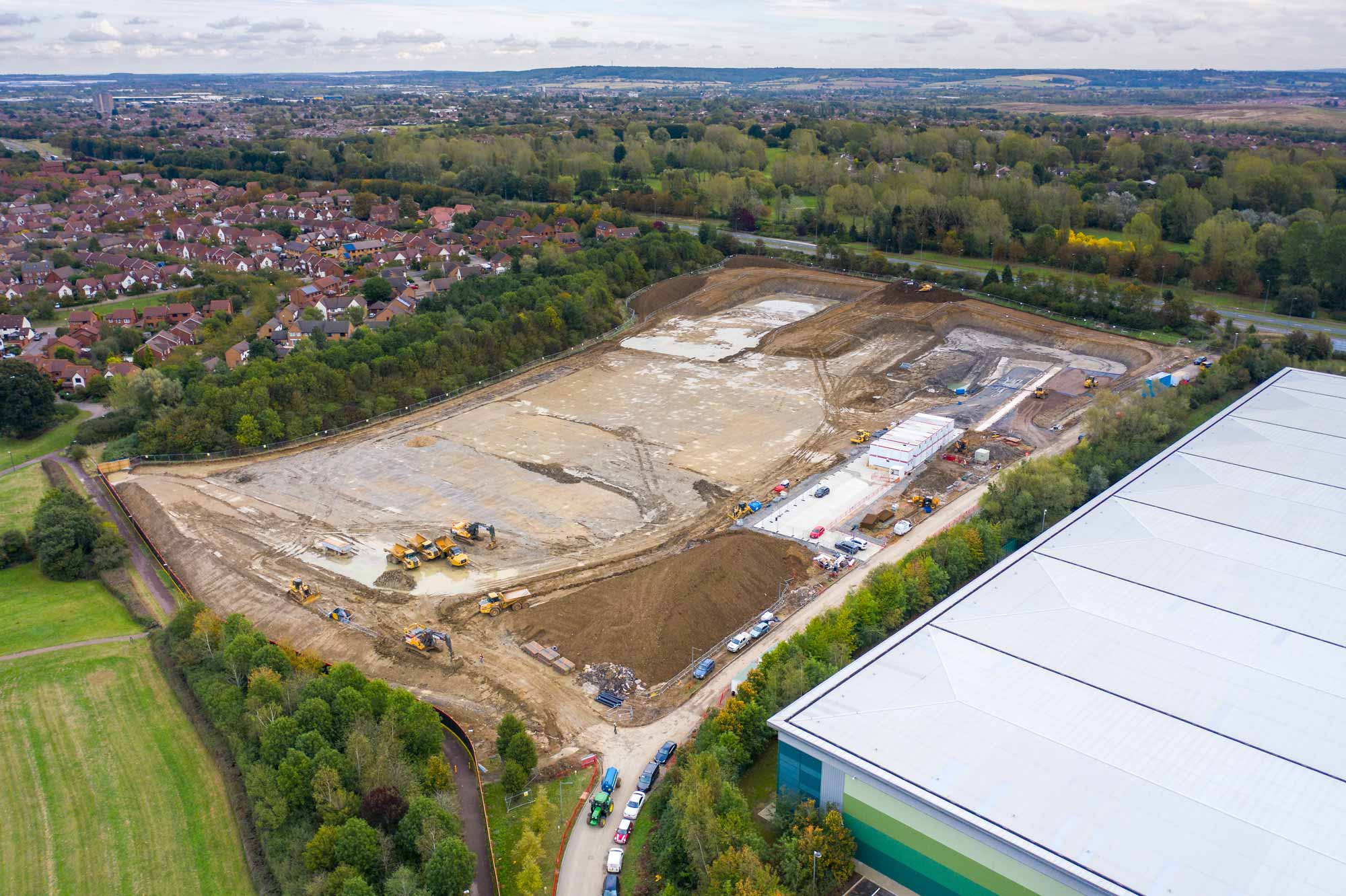
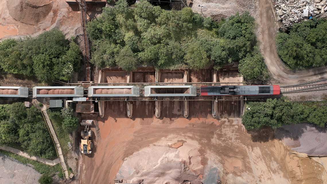
Precision Mapping & Surveys
From topographical maps to volumetric surveys, our drones deliver highly accurate data in record time. Whether you need to map expansive areas or focus on intricate site details, we tailor our services to meet your project’s needs.
By keeping your team safely on the ground, we minimise risks while maximising efficiency, ensuring a seamless and safe surveying process.
We Understand Construction
From Blueprint to Completion
We partner with you at every stage, from initial site surveys to final project completion, providing high-quality visuals and precise aerial data to document progress.
Our adaptable approach ensures we integrate seamlessly into your workflow, maximising efficiency while maintaining the highest standards of safety and quality.
Why Choose Us?
Industry-leading drone services tailored to the construction sector.
Industry Expertise
High-Precision Data
Fast & Efficient
Uncompromising Safety
FAQs
- How frequently can you provide aerial updates?
- We offer weekly, fortnightly, or monthly progress updates, with flexible scheduling to match your project’s timeline.
- Can you integrate drone data into existing project management tools?
- Yes, our data can be formatted for BIM software, CAD applications, and GIS platforms, making it easy to integrate into your workflow.
- Do you provide volumetric and cut-and-fill surveys?
- Yes, we offer accurate volumetric analysis, measuring stockpiles, excavation areas, and cut-and-fill calculations to assist with material management.