HIGH RESOLUTION DRONE MAPPING SERVICES
High-Resolution Drone Mapping
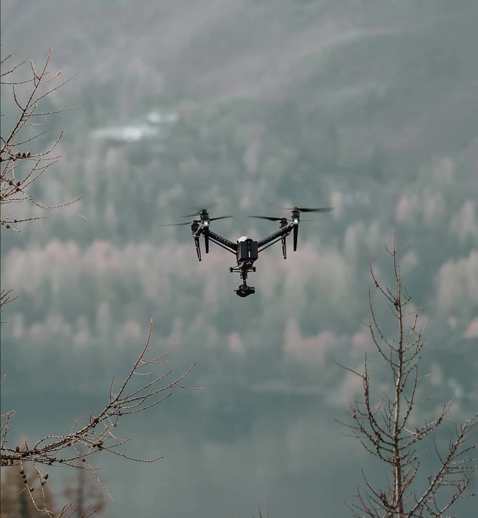
Transform the way you capture and interpret spatial data with CloudVisual's drone mapping services. Our high-resolution aerial surveys provide centimetre-level accuracy, offering detailed topographical data for land, infrastructure, and asset management.
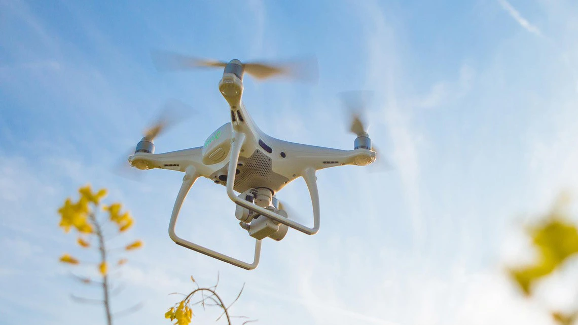
Our advanced drone technology allows for efficient mapping of even the most challenging environments, from dense urban areas to remote landscapes. With automated flight planning and cutting-edge processing techniques, we ensure complete site coverage with precision and speed. Whether you're overseeing a construction project, monitoring land changes, or planning large-scale developments, CloudVisual delivers the reliable data you need.
Delivered by Aerometrics
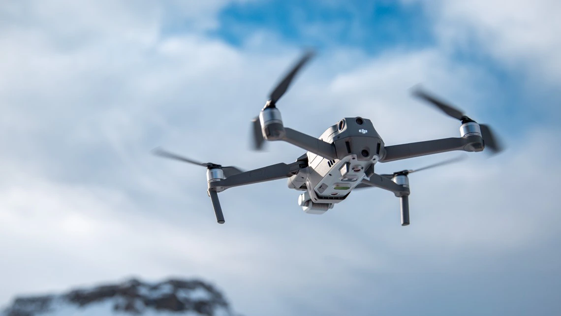
Technical surveying, mapping and inspection work is carried out through Aerometrics - CloudVisual’s dedicated survey division, with specialist pilots, survey-grade sensors and in-house data processing.
Intelligent Aerial Mapping
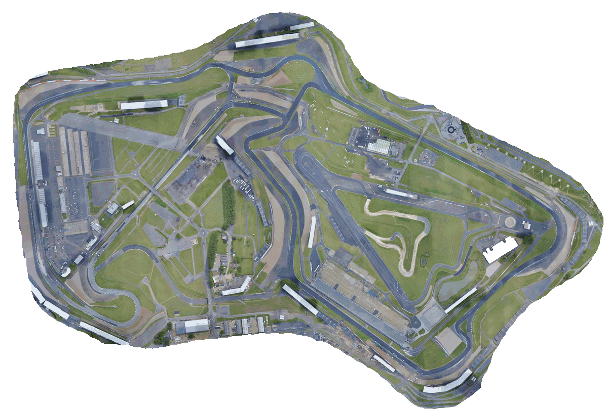
CloudVisual’s drones utilise advanced autonomous flight systems to determine the most efficient mapping routes. By calculating the optimal altitude, overlap, and speed, our drones collect highly accurate geospatial data while minimising time on site.
Our mapping solutions reduce costs and eliminate the risks associated with traditional surveying methods. From high-resolution orthomosaics to 3D terrain models, our aerial data provides the foundation for informed decision-making across a range of industries.
Limitless Mapping
With a track record of mapping over 250,000 acres, CloudVisual has the capability to handle projects of any scale. From expansive construction sites to agricultural landscapes and urban planning, our drones provide accurate and repeatable data across vast areas.
Equipped with an extensive supply of batteries and on-site rapid charging facilities, we ensure uninterrupted operations, allowing continuous mapping for extended periods without delay.
Safety First
At CloudVisual, safety is at the core of every operation. We conduct detailed pre-flight risk assessments, adhere to strict aviation regulations, and implement site-specific safety measures to ensure smooth operations in any environment.
Whether mapping near active construction sites, critical infrastructure, or rugged landscapes, our experienced pilots operate with precision and care. Our commitment to safety means you receive high-quality data collection with minimal disruption and zero risk to personnel.
FAQs
- Is there a limit to the area you can map?
- There is no limit. Our drones can land, swap batteries, and continue mapping, making it possible to cover vast areas efficiently.
- How long does it take to map an area?
- Mapping time varies depending on terrain and project requirements, but as a guideline, we can map approximately 500 acres in 2 hours.
- What resolution can you achieve?
- We can achieve resolutions as fine as 1cm per pixel, depending on the flight altitude and project requirements.